Navigation in the devices
Jun 16 2021
engeniring, IoT, navigation, gps, triangulation
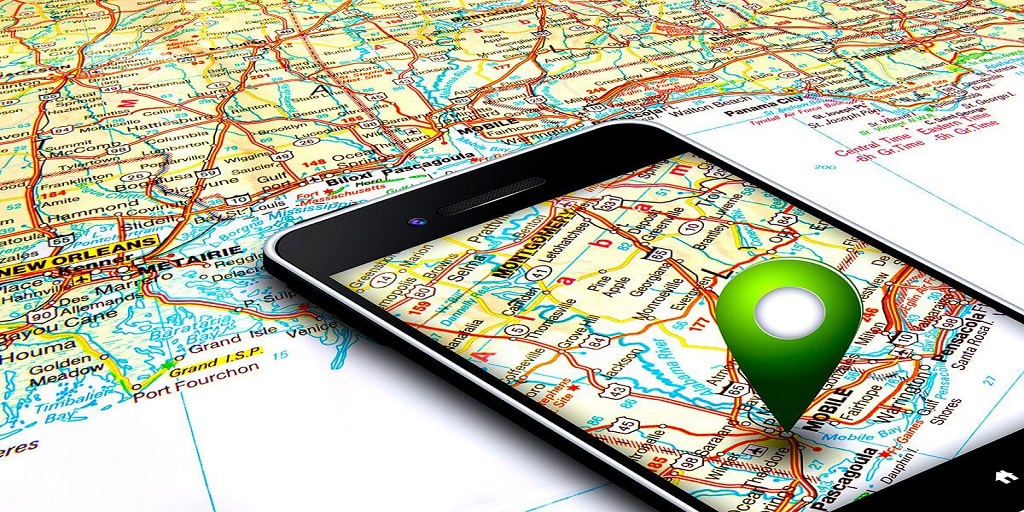
Today, every smartphone has support for geolocation services, which allows you to view a map, order a taxi, or play Pokemon Go. Let’s figure out how it works.
First, let’s get acquainted with the satellite service. We are talking about GPS satellites, Glonass and others. We know the exact position of these satellites and they send us their time. By calculating the difference between the current time and the positions of the satellites, we get our location with an accuracy of 20 meters. But in large cities, satellite communications are hindered by houses, other signal sources and high energy consumption (which leads to a quick discharge of the device and its heating). Well, the antenna itself takes up a lot of space.
Stations of cellular communication LBS / GSM. The idea is exactly the same as with satellites, only now there is no problem with navigation in the city and even in the house, there is also no need for additional antennas and does not consume a lot of energy. And you can quickly find out the country by the cell tower. But another problem appears, this is exactly the location of the device. Accuracy can reach several kilometers.
A-GPS is essentially a calculation of your location relative to the already known coordinates of Wi-Fi routers. How to get the location of a Wi-Fi router? And his address will be sent to Google or Apple by another user with satellite navigation. Thus it is created by users who do not even know about it. It is clear that such navigation will not work outside the city, in the forest. Even on the move, it is difficult to get the necessary information from the surrounding Wi-Fi points. But the energy consumed decreases several times, as does the speed of obtaining coordinates, and it becomes possible to navigate even indoors (albeit not accurate).
IMU - A set of sensors to determine the device in space. Basically this set includes: accelerometer, gyroscope, compass and barometer. In this way, we can get the tilt and acceleration of the device, the position relative to the magnetic pole of the earth and atmospheric pressure. This data will allow you to quickly calculate the movement (it also helps to count steps and flip the interface when you rotate the screen). But another disadvantage is the accumulation of errors in the “assumed” movement.
As a result, our devices use all possible ways of navigation, correcting the disadvantages of one with the advantage of the second. Balancing between accuracy and energy efficiency, compactness and speed of positioning.